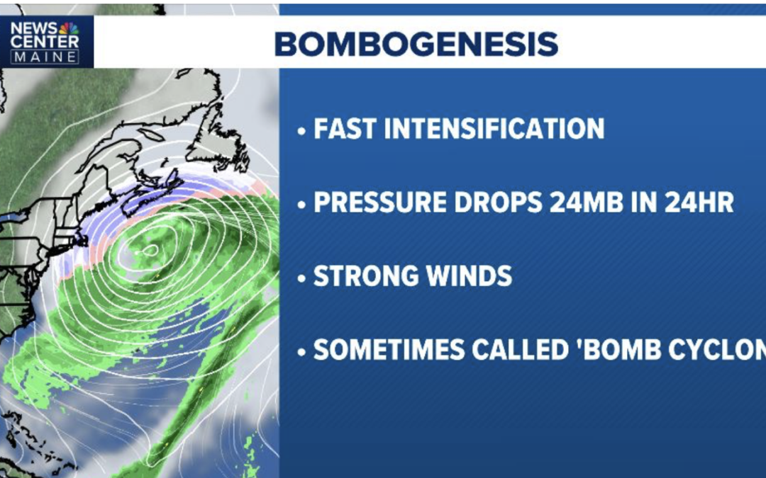
Explosive cyclogenesis, or “bombogenesis,” is the rapid intensification of an extratropical cyclone, defined by a central pressure drop of at least 24 millibars within 24 hours. Often called “bomb cyclones,” these intense winter storms develop when cold air masses collide with warm maritime air, causing rapid, violent rotation and severe weather like high winds and heavy snow.
Often, in late February and March, when the air tries to warm ahead of spring, the combination of warm ocean temperatures and pieces of a Polar Vortex heading south can result in rapid intensification of storms.
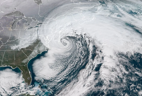
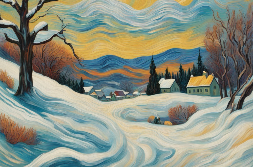
This is what I predicted last week for February 23rd-24th—A “bomb cyclone” much closer to the Maryland to Massachusetts coast than most weather models were predicting. It will look something like this.
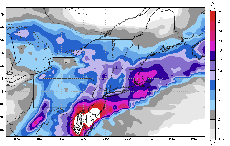
Some models are now predicting up to 20”-30” of snow here in red and white next week.
While this could be a bit overzealous, it is possible.
If you like to ski, look for the great Northeast & New England ski season to continue.
This video by Jim Roemer (AKA Dr. Weather) addresses:
A) Why forecasts for warmer weather deeper in February helped pressure natural gas and the ETF (BOIL) some 50% since the polar vortex and bull market, two weeks ago.
B) Why parts of the northern U.S., including the Northeast, will have off and on bouts of colder weather, vs warm weather over the Midwest and deep south
C) What is the significance of the Madden–Julian oscillation (MJO) in phase 4/5 and the negative GLAAM (Global Atmospheric Angular Momentum) and why these are usually warm, bearish signals for natural gas.
D) A very strong -WPO-/-NAO signal: Why typically this would result in major cold U.S. weather and a bull move in natural gas prices.
E) When having all of these different climatic forces (teleconnections), why using option strangles selling way out of the money call and put options in natural gas, will help capture price volatility
1)How stratospheric warming helped natural gas prices surge over $5.00 in early December, only to come crashing down on the warmer late month outlook. That warming aloft will begin to weaken.
2)What is a -WPO and -NAO index? It will bring much colder weather to Europe and perhaps New England as we head towards the end of the month, However, since the negative NAO will be more eased based, that would favor Europe seeing more consistent snows into January rather than much of the central and eastern U.S.
3)How a +EPO index (cold pool near Alaska) and strong western U.S. troughs (-PNA) will offset a potential cold January weather pattern for the U.S. This means that most U.S. natural gas areas will be warmer than normal.
4)How strong vs weak La Niña events affect the weather in January
WEATHER WEALTH SAMPLE CONTENT
HELPING YOU MAKE THE BEST INVESTMENT DECISIONS BASED ON THE WEATHER
We use cookies to ensure that we give you the best experience on our website. If you continue to use this site we will assume that you are happy with it.