CLIMATE PREDICT--Historical Snow Cover and Hurricane Maps
SAMPLE REPORT #5
CLIMATE PREDICT--Historical Snow Cover and Hurricane Maps
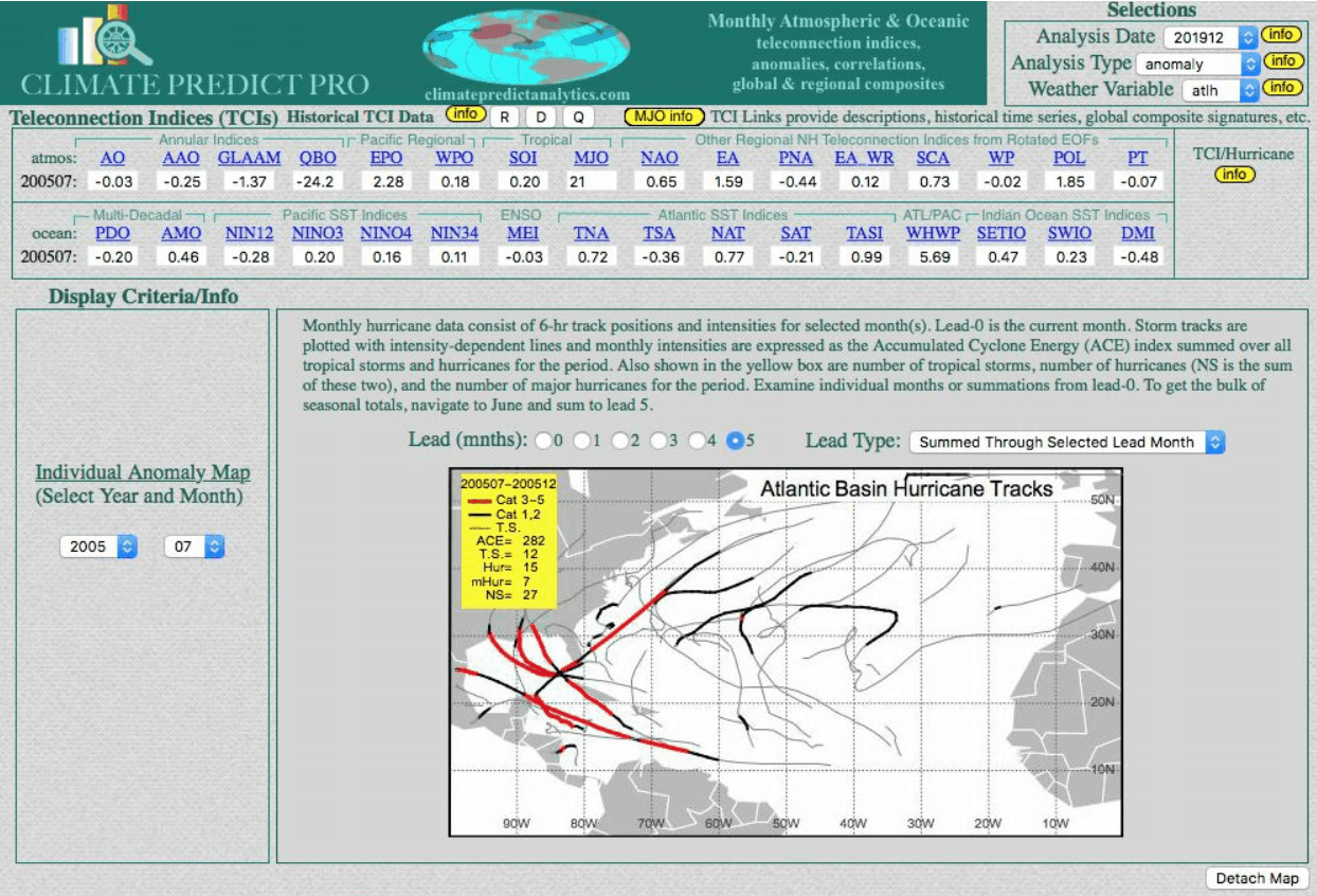
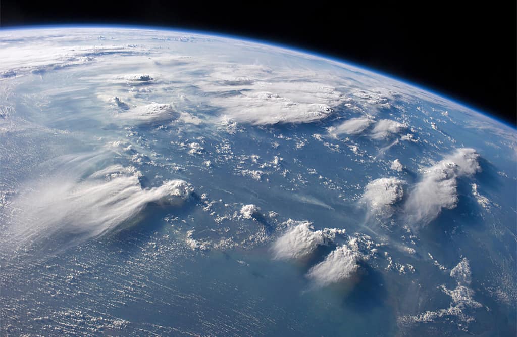
SAMPLE REPORT #5Hurricane tracks and intensities from the infamous 2005 hurricane season.
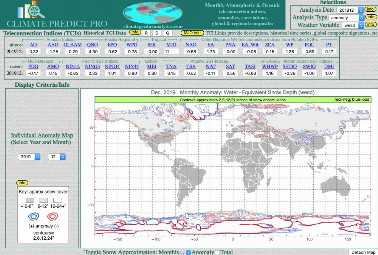
Snow cover map of December 2019. Notice the below-normal snowfall (red) over the Midwest and East. This was one factor in the warm winter of 2019-20 (lack of widespread snow cover)
WeatherWealth
With Jim Roemer
2 week free trial
• Weekly global commodity weather and crop outlooks
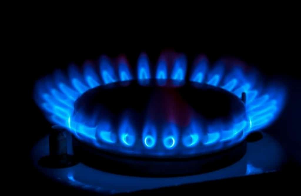
• Weather Trade of the month recommendation for either coffee, corn, soybeans, natural gas or one other market
• Detailed information on how global weather may affect commodity prices
• Email Jim Roemer (one question a month) about your market position
• Encompassed crop analysis and special weather maps from around the world
• CLIMATE PREDICT long-range weather forecasts used by major hedge funds and commodity traders
• Grain, Soft and Energy Commodities—Know before the crowd where the weather extremes will be
Table Title
Subtitle goes Here- This feature is included
- This feature is included
- This feature is included
- This feature is included
- This feature is not included
- This feature is not included
Table Title
Subtitle goes Here- This feature is included
- This feature is included
- This feature is included
- This feature is included
- This feature is not included
- This feature is not included
2 week free trial
• Weekly global commodity weather and crop outlooks
• Weather Trade of the month recommendation for either coffee, corn, soybeans, natural gas or one other market
• Detailed information on how global weather may affect commodity prices
• Email Jim Roemer (one question a month) about your market position
• Encompassed crop analysis and special weather maps from around the world
• CLIMATE PREDICT long-range weather forecasts used by major hedge funds and commodity traders
• Grain, Soft and Energy Commodities—Know before the crowd where the weather extremes will be
Read More
Sample Reports
International Weather/Special Climate Reports
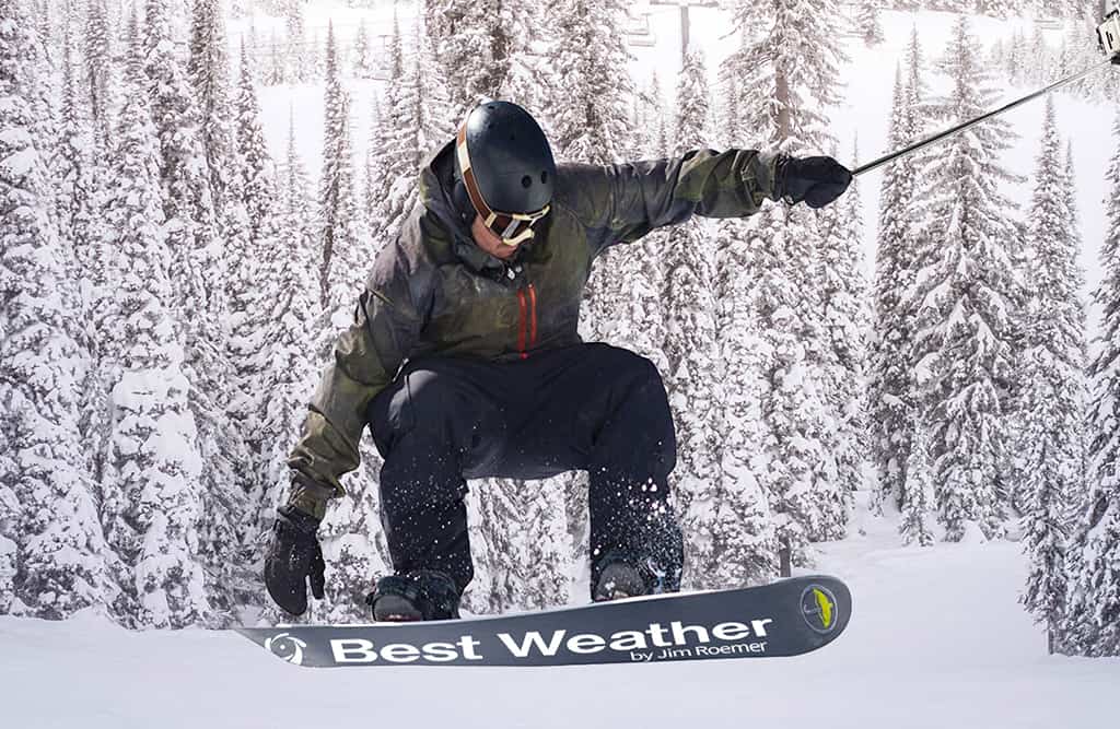
Know months in advance where to ski or travel
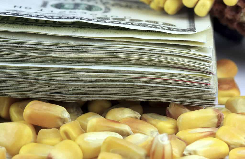
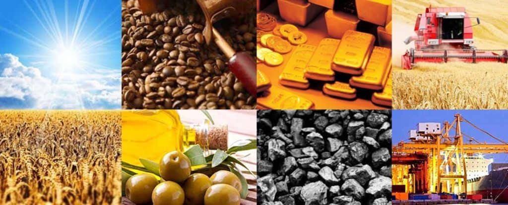
GRAINS COMMODITIES
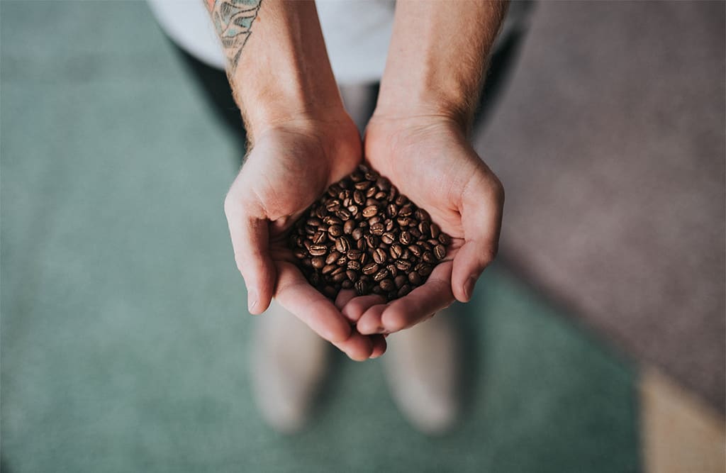
SOFT COMMODITIES